Follow us on Google News (click on ☆)
The research team states that their discovery, published in Palaeontologia Electronica, could lead to more accurate reconstructions of ancient ecosystems, helping us better understand Earth's history and, in light of biodiversity changes, present and future life.
"Essentially, we've shown that the dating method used for decades in Dinosaur Provincial Park may not be as reliable as previously thought," explains Alexandre Demers-Potvin, a postdoctoral researcher who led the study while completing his PhD at McGill University's Redpath Museum.
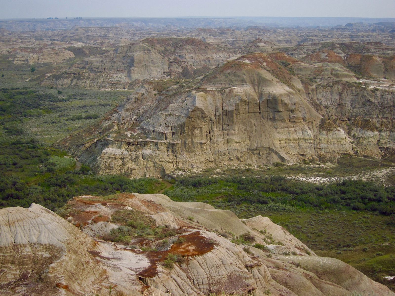
Dinosaur Provincial Park is a UNESCO World Heritage Site due to its exceptional collection of Late Cretaceous dinosaur fossils. For decades, paleontologists have estimated the age of the park's fossil quarries by referencing the contact point between the Oldman and Dinosaur Park formations. Specifically, scientists determine how high a fossil site is relative to this point. However, this method provides only an approximate age, unlike absolute dating techniques that use radioactive elements in rock to determine exact ages.
The study reveals that the elevation of this contact point can vary by up to 12 meters (39 feet) over short distances—an uncertainty that could alter estimates of when different species lived.
"A significant variation in the reference point could greatly distort our fossil age estimates," notes the researcher.
A more precise chronological record
To address these uncertainties, Alexandre Demers-Potvin and co-author Prof. Hans Larsson used drones to capture around a thousand high-resolution images of a key fossil site in the park. By processing these images using a technique called "SfM photogrammetry" (Structure from Motion), the team built a precise 3D model of the terrain with GPS geolocation.
The results suggest that a fossil's age could be estimated by identifying its original sedimentary layer and tracing it over long distances where possible. This dating method, the researchers argue, may prove more reliable than the Oldman-Dinosaur Park contact point, as it wouldn't require accounting for elevation, which is now known to vary by several meters across different areas of the park.
"This finding could help us more accurately establish the sequence of different dinosaur species over time," says Alexandre Demers-Potvin. "By mapping strata across a broader area, we could gain a much clearer picture of biodiversity evolution in an ancient terrestrial ecosystem."
The study
The paper "High local variability in elevation of the Oldman-Dinosaur Park Formation contact revealed by digital outcrop reconstruction, and implications for dinosaur biostratigraphy of the Late Cretaceous (Campanian) Belly River Group of Alberta, Canada," by Alexandre V. Demers-Potvin and Hans C.E. Larsson, was published in the journal Palaeontologia Electronica.
