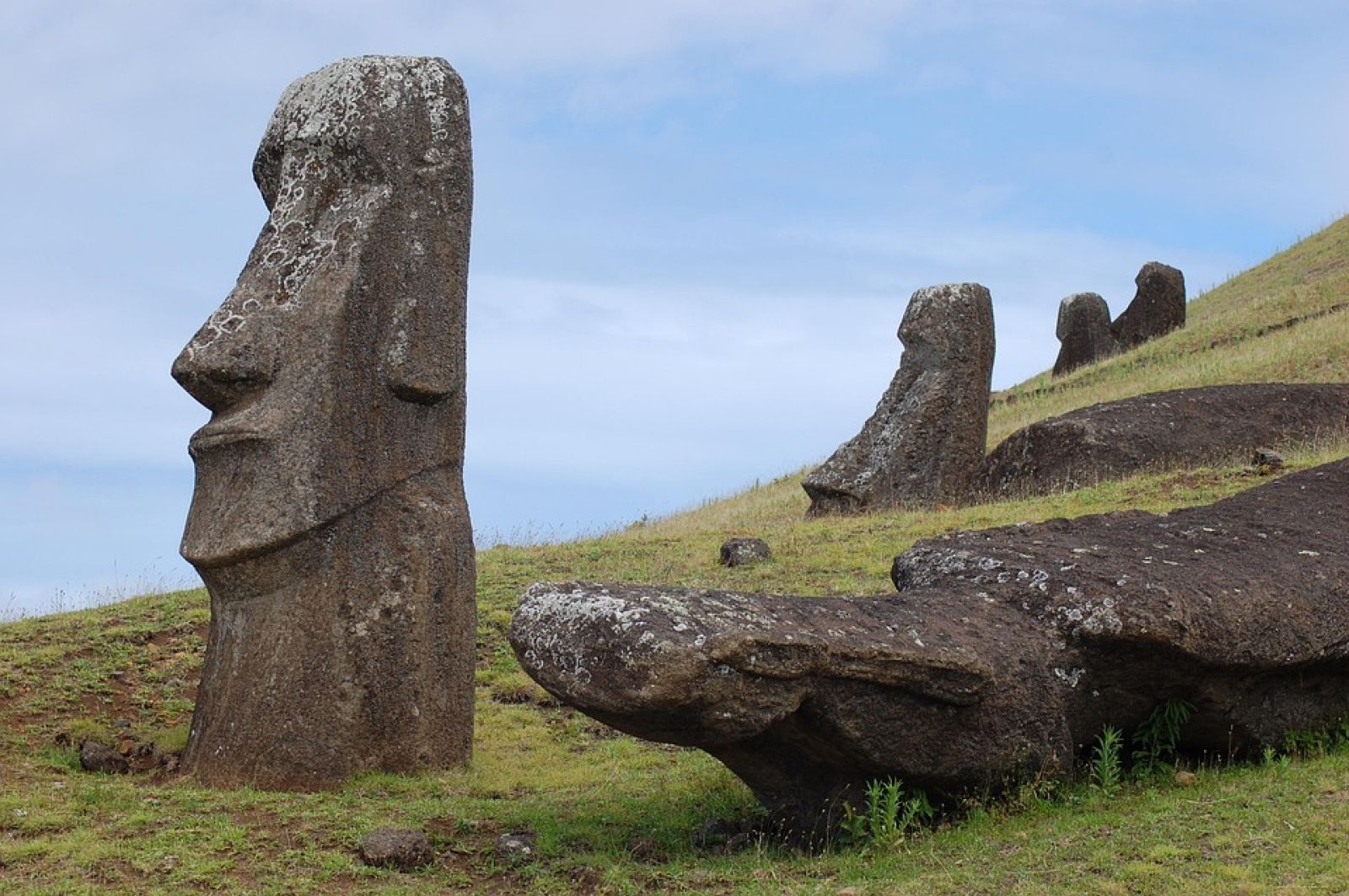
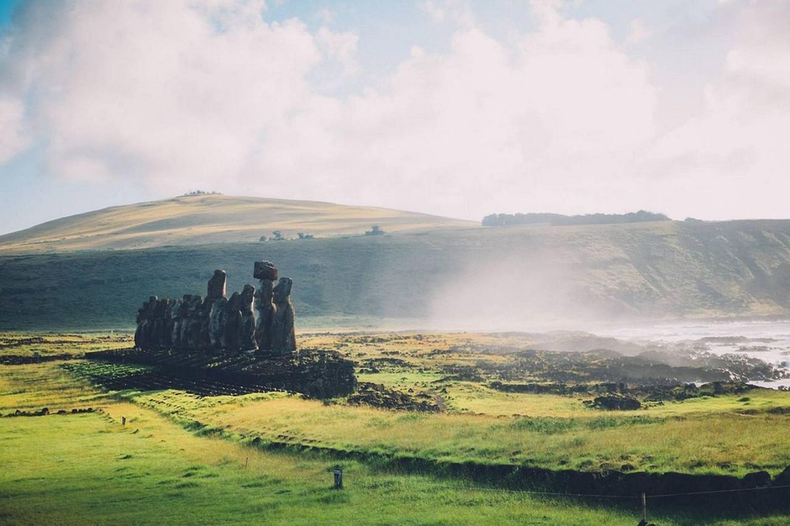
🗿 Easter Island statues may soon disappear
Follow us on Google News (click on ☆)
Researchers from the University of Hawaii used computer models to simulate sea level rise. These tools help visualize how waves could submerge the coasts by 2080. The results indicate that major cultural sites, such as Ahu Tongariki, are directly threatened by this climate evolution.

Pixabay illustration image
This scientific approach combines geospatial data with ocean forecasts to assess risks. By overlaying flood maps with monument locations, the team identified 51 vulnerable sites. These simulations help anticipate potential damage and plan appropriate protection measures.
Local communities heavily depend on these cultural treasures for their identity and tourism economy. The loss of these sites could have significant social and financial repercussions. Discussions are underway to develop preservation strategies in collaboration with residents.
Similar methods are being applied in Hawaii to protect sacred coastal sites. This research serves as a model for other Pacific regions facing the same challenges. The goal is to use science to support conservation efforts led by indigenous communities.

Pixabay illustration image
Future work will include more in-depth analysis of impacts and adaptation solutions. Researchers are collaborating closely with local partners to ensure actions respect cultural values. This initiative aims to preserve heritage for future generations despite environmental changes.
Predicting sea level rise
Sea level rise is a phenomenon caused mainly by melting glaciers and thermal expansion of oceans due to global warming. This leads to a gradual increase in the average height of oceans worldwide.
Consequences include coastal erosion, more frequent flooding, and soil salinization. These effects threaten ecosystems, human infrastructure, and cultural sites located near coasts.
Measures such as building dikes or relocating populations are often considered to mitigate these impacts. However, these solutions can be costly and difficult to implement.
Continuous monitoring via satellites and sensors helps predict changes and adapt protection strategies.
Computer models use algorithms to simulate interactions between the ocean, atmosphere, and land topography. They integrate historical data and climate projections to estimate future risks.
These models calculate how waves and tides might evolve with rising waters. By adding topographic information, they identify areas likely to be submerged.
Model validation is done through field observations, such as pressure measurements or satellite images. This ensures greater accuracy in forecasts.
These tools are essential for urban planning and heritage protection, enabling decision-makers to act proactively.