Follow us on Google News (click on ☆)
This mission, called JTRACK, aims to understand the mechanisms of mega-earthquakes and improve seismic risk prevention. Thanks to cutting-edge technologies and international collaboration, scientists have been able to explore the depths of the subduction zone, where the Pacific Plate dives beneath Japan.
An extraordinary technological challenge
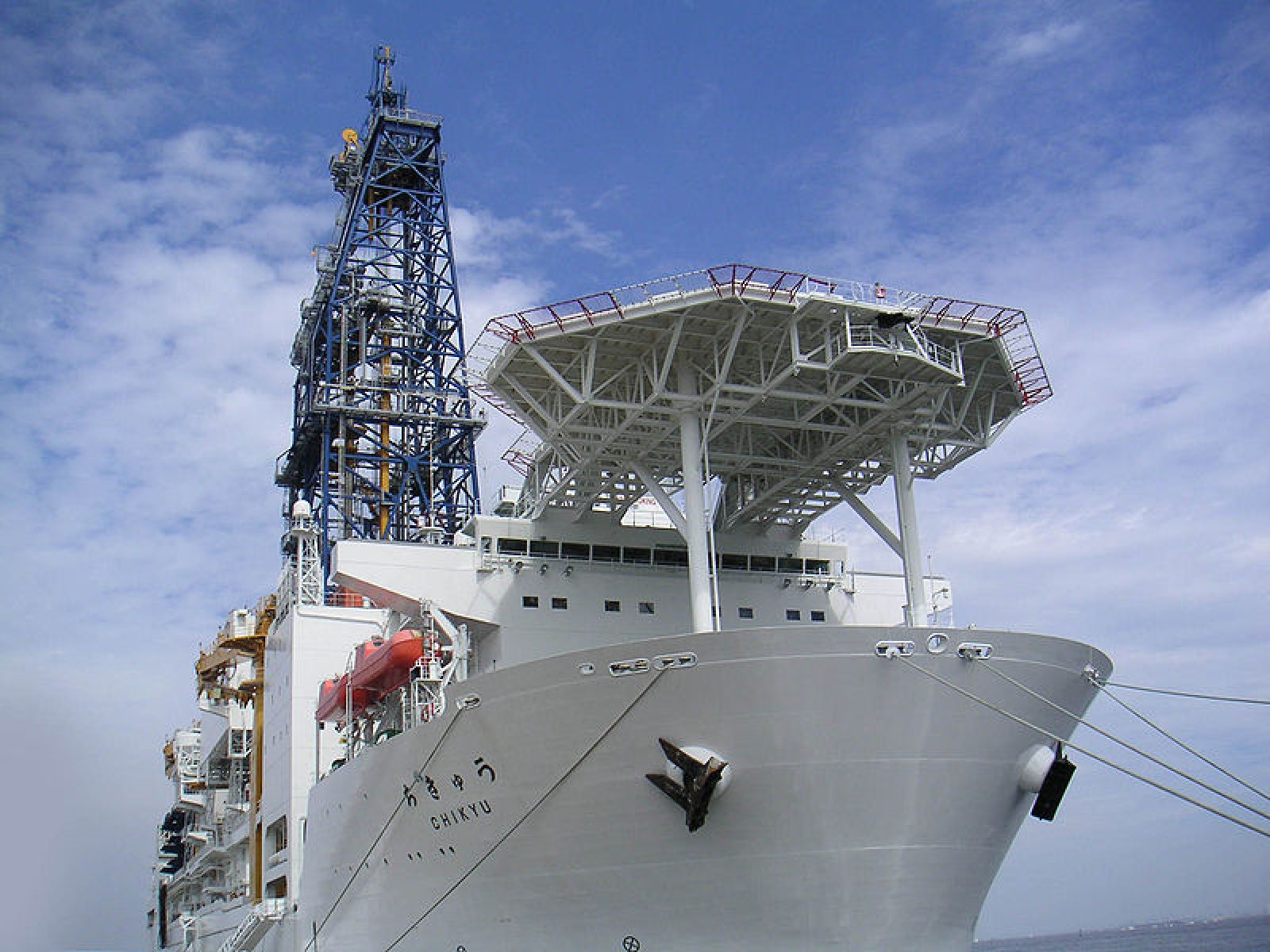
Drilling at such depths represents a colossal challenge. The drilling ship Chikyu had to maneuver with extreme precision to position the drill string, compared to a "wet spaghetti" under the effect of ocean currents. Researchers then installed ultra-sensitive sensors to measure fluid movements and geological stresses.
This operation has made it possible to collect unprecedented data on the fault, particularly on its healing after the 2011 earthquake. Scientists hope to better understand how subduction zones accumulate and release seismic energy.
The Tōhoku fault under surveillance
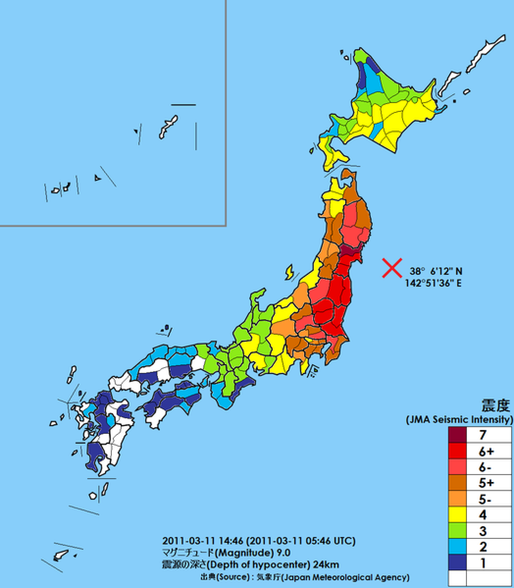
The 2011 earthquake caused the fault to slip more than 164 feet (50 meters), triggering a devastating tsunami. Data collected during the JFAST mission in 2012 had already revealed thermal anomalies linked to friction during the earthquake. Today, JTRACK allows us to observe how the fault evolves and repairs itself over time.
Researchers have also drilled into the Pacific Plate before its subduction to study its mechanical properties. This information is crucial for anticipating future earthquakes and tsunamis in the region.
Implications for risk prevention
The results of JTRACK could revolutionize our understanding of mega-earthquakes. By analyzing seismic cycles and fault healing, scientists hope to improve risk prediction models. These advances are essential for protecting populations living near subduction zones.
The data collected will be published in the coming years, offering new perspectives on fault dynamics and earthquake triggering mechanisms. This mission marks a major milestone in the study of seismic risks on a global scale.
What is a subduction zone?
A subduction zone is a region where one tectonic plate dives beneath another, leading to major geological phenomena. These zones are often the site of powerful earthquakes and tsunamis, as the movements of the plates generate enormous amounts of energy.
When two plates meet, the denser one sinks into the Earth's mantle. This process, slow but continuous, can last millions of years. However, it is often marked by temporary blockages, where energy accumulates until the fault ruptures, causing an earthquake.
Subduction zones are responsible for the largest earthquakes ever recorded, such as the Tōhoku earthquake in 2011. They also play a key role in the formation of volcanoes and mountains, influencing the geography and geology of our planet.
By studying these zones, scientists seek to better understand the mechanisms of earthquakes and improve early warning systems. This research is essential for protecting populations living near these high-risk regions.

